Categories
People Climate Global Warming

Human Population Through Time [Video]

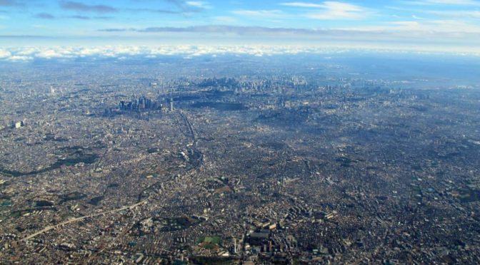
The Earth is getting more crowded every single day. As of 2023, the world population was estimated at 8 billion. Our planet is already overpopulated, and despite the growth of the population slowing down, the situation will be worse: the United Nations estimates it will further increase to 11.2 billion in the year 2100.

Here is a video published by the American Museum of Natural History showing the World’s population through time.

Categories
Solar System Astronomy Physics Planet Earth

How Earth Moves [Video]

A beautiful video, once again, from Michael Stevens, titled “How Earth Moves”. Michael explains many concepts, including “sub-solar point”, “sidereal day vs solar day”, or “how Earth moves in space” etc, and he is doing it in a very simplified manner. Enjoy!

Categories
Planet Earth Climate Geology Places

Top 10 Rare Natural Phenomena

Some natural events are so rare, so strange, but amazingly beautiful at the same time. They even seem out of our world, and sometimes it’s hard to believe they truly exist. Here are a few of them, 10 stunning and rare natural phenomena.

Categories
Places Climate Global Warming Mountains Oceans Travel

8 famous places to see before they have vanished

There are a lot of natural and human-made wonders in the world. But everything has an end, and sooner or later, they’ll be gone. Unfortunately, some of them will be vanished sooner, even in a few decades. Here are eight famous places to see before they have vanished, just in case you may want to see them before they are gone.

Categories
Life on Earth Evolution

The 6th Major Extinction Event

In the past, there were five major extinction events (a widespread and rapid decrease in the biodiversity on Earth), and a lot of minor ones. Now, we are in the middle of the sixth one, called the “Holocene extinction event”. And the cause is… guess what? Humans.

According to the WWF’s (World Wildlife Fund) new Living Planet Report (2016), now we are in the middle of the biggest mass extinction on Earth, since the dinosaurs, which was around 65 million years ago. And the world is set to lose two-thirds of its wildlife by as close as 2020.

Categories
Places People

Top 10 City Facts

Since the Neolithic revolution, humanity is building cities. Here are the top ten amazing facts about cities all around the world.

Categories
Animals Life on Earth

Gator Uses a Bait Stick to Catch Egrets (Video)

An alligator’s brain weighs only 8 or 9 grams, and it has the size of a walnut, but that doesn’t mean they are stupid. In fact, they’re much smarter than you’d think. In Everglades National Park in the United States, a 400-pound (181 kg) gator displays a clever way and uses a bait branch stick to catch egrets during the breeding season.

Categories
Geology Places

Drones Sacrificed for this Spectacular Volcano Video

A spectacular video (drones sacrificed while shooting it!) from National Geographic: explorer Sam Cossman operated camera-mounted drones to capture high-definition images of the Marum crater (also spelled Maroum) in Ambrym, Vanuatu. Vanuatu is a Pacific island nation located in the South Pacific Ocean.

Categories
Life on Earth Mountains Oceans Planet Earth

Planet Earth II Official Extended Trailer

In 2006, Planet Earth, the British television series produced by the BBC Natural History Unit “has changed our view of the world”. It was the first nature documentary series filmed in high definition. The making took five years and it was the most expensive nature documentary series ever commissioned by the BBC. Now, ten years later, in February 2016, the BBC announced a six-part sequel had been commissioned, titled Planet Earth II. In October 2016, BBC released the trailer of Planet Earth II.

Categories
Solar System

This is how Mars would look if it still had water

What if Mars still had liquid water on its surface and a thick atmosphere filled with clouds, like Earth? How would it look like? Software engineer Kevin Gill of JPL (NASA’s Jet Propulsion Laboratory) wondered this and prepared an image using data from NASA’s Mars Reconnaissance Orbiter (MRO, see notes 1) and Mars Orbiter Laser Altimeter (MOLA, see notes 2). The result is stunning!

Gill picked an arbitrary sea level and used GIMP (a free and open-source raster graphics editor used for image retouching and editing) to paint the features onto the satellite images using these measurements.