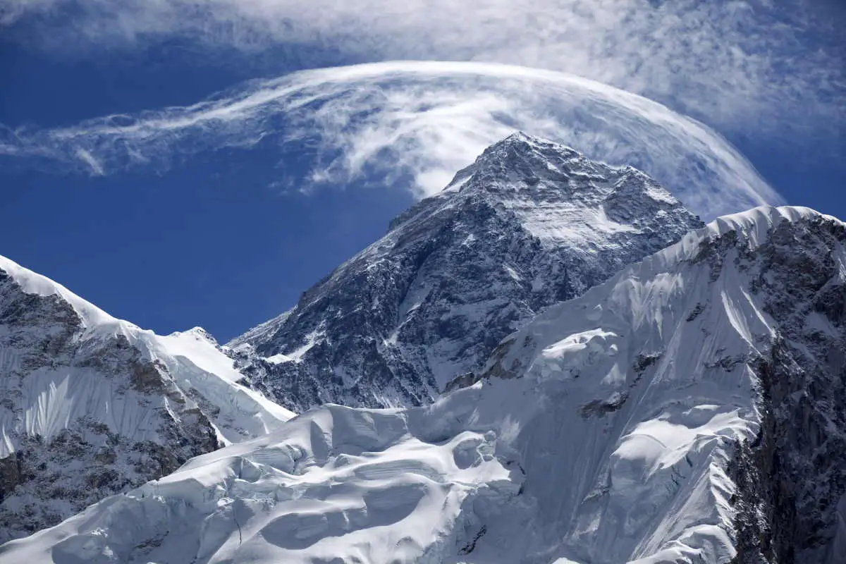
The Himalayas are a mountain range in Asia that stretches for about 1,500 miles (2,400 kilometers) through parts of India, Nepal, and China. The Himalayas are the highest mountain range in the world, with many of its peaks reaching elevations of over 8,000 meters (26,000 feet).
The Himalayas were formed as a result of the collision of the Indian and Eurasian tectonic plates. About 50 million years ago, the Indian plate began moving northward towards the Eurasian plate at a rate of about 2 inches (5 centimeters) per year. As the two plates collided, the Indian plate was thrust up and over the Eurasian plate, forming the Himalayas.

The collision of the two plates is still ongoing, and the Himalayas are still rising at a rate of about 0.4 inches (1 centimeter) per year. The process of uplift and erosion has resulted in the formation of the towering peaks and valleys that characterize the Himalayas.
Why the Himalayas are so high?
The high elevation of the Himalayas is also due to the fact that they are located near the edge of the Tibetan Plateau, which has an average elevation of about 16,000 feet (4,900 meters). The combination of the uplift of the Himalayas and the high elevation of the Tibetan Plateau has resulted in the extremely high elevations of many of the peaks in the Himalayas.

Video: How the Himalayas formed
The video below shows how the Himalayas formed as a result of the collision of the Indian and Eurasian tectonic plates about 50 million years ago.
Video: How plate tectonics create mountains
In the video below, University of Melbourne’s School of Geography, Earth and Atmospheric Science students squeeze layered sediments in a sandbox to see how they will deform. This process created the highest mountain range in the world 50 million years ago when the Indian and Eurasian tectonic plates collided.
Sources
- How and when did Mount Everest become the tallest mountain? And will it remain so? on The Conversation website

- How Many Elephants are Left in the World in 2025? - August 17, 2025
- Moon Landings: All-Time List [1966-2025] - February 2, 2025
- What Is Max-Q and Why Is It Important During Rocket Launches? - January 16, 2025