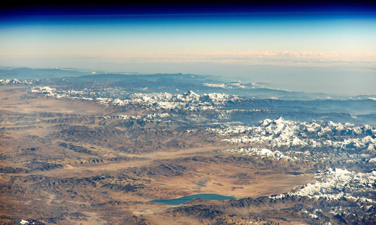
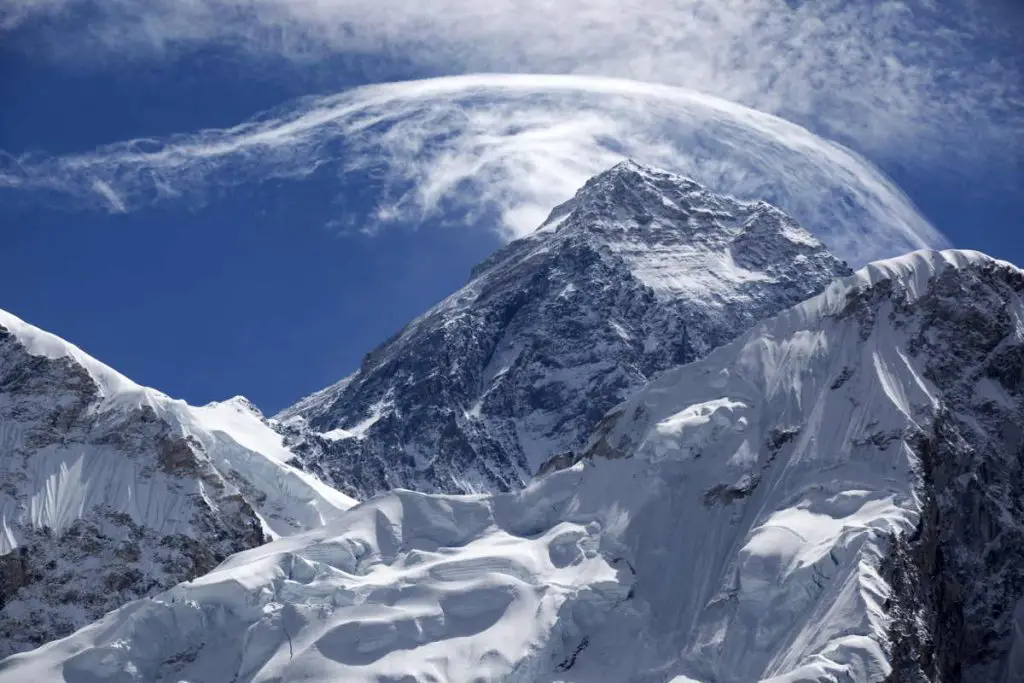
Mount Everest is the highest mountain in the world. Its summit is 8,848.86 meters (29,031.7 feet) above sea level. Naturally, It looks amazing from space, and as a result, many astronauts take its photos during their journeys. Here are the top 5 most amazing photos of Mount Everest from space, published by NASA.
Standing on the border of China and Nepal, Mount Everest is the centerpiece of the Great Himalayan Range, the highest and northernmost section of the Himalayas.
Mount Everest’s Nepali name is Sagarmāthā (or Sagar-Matha), which means “goddess of the sky”.
Many of the world’s tallest peaks are located in the Great Himalaya Range, including Mount Everest (8,848.86 meters / 29,031.7 feet, the Earth’s tallest mountain when measured from sea level), Kangchenjunga (the 3rd tallest mountain in the world, 8,586 meters / 8,169 feet), Lhotse (the 4th tallest, 8,516 meters / 27,940 feet), Makalu (the 5th tallest, 8,481 meters / 27,825 feet), and Nanga Parbat (the 9th tallest, 8,126 meters / 26,660 feet).
K2, the second-tallest mountain in the world (8,610 meters / 28,250 feet) lies in the Karakoram range.
Photos of Mount Everest from space
1. The Great Himalaya Range
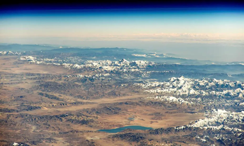
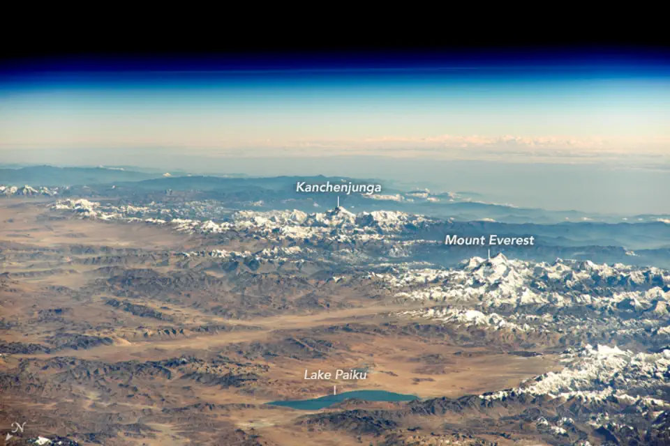
An astronaut aboard the International Space Station (ISS) shot this oblique photograph of the Great Himalaya Range from space. Mount Everest and Kangchenjunga can be seen in the image (see the annotated version below).
2. Makalu and Mount Everest from Space
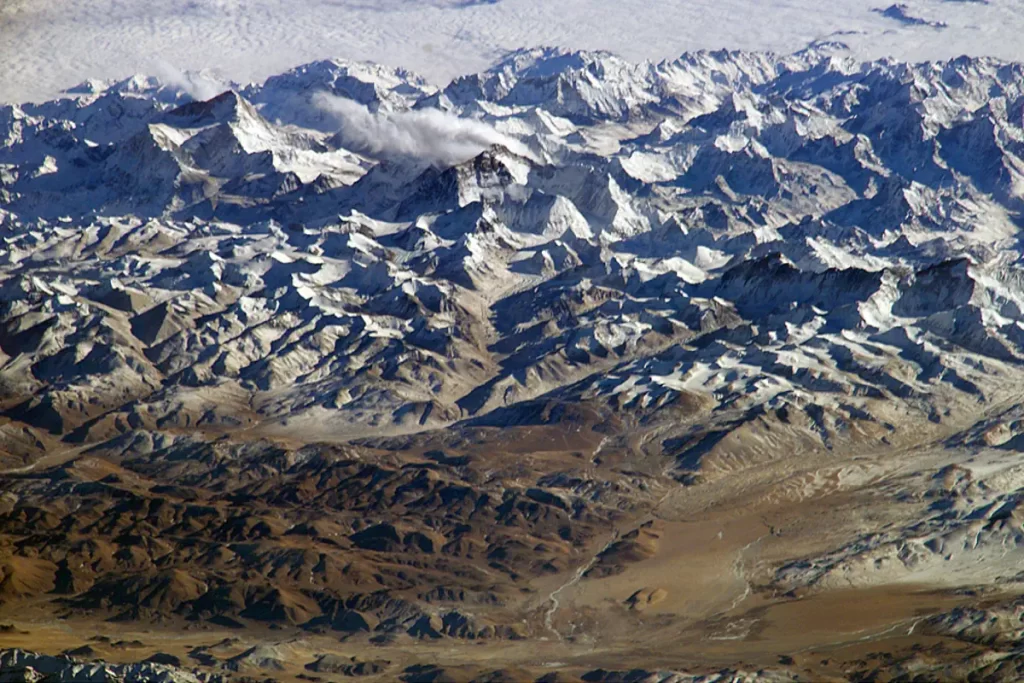
On November 26, 2003, astronauts on board the International Space Station took advantage of their unique vantage point to photograph the Himalayas, looking south from over the Tibetan Plateau. The perspective is illustrated by the summits of Makalu (left) and Mount Everest (right).
3. Mount Everest and surrounding glaciers
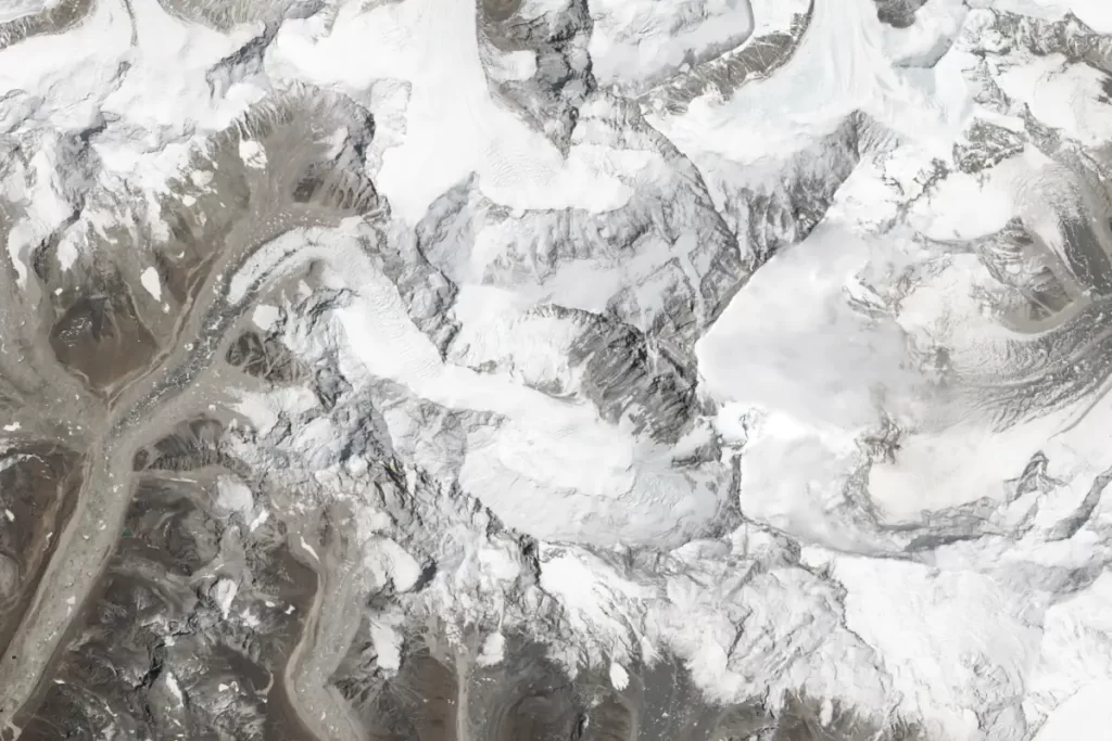
On May 3, 2013, NASA’s LANDSAT-8 satellite took this photo of many southern-facing Himalayan glaciers, including the Khumbu Glacier on Mount Everest from space.
4. Northern approach to Mount Everest from Tibet
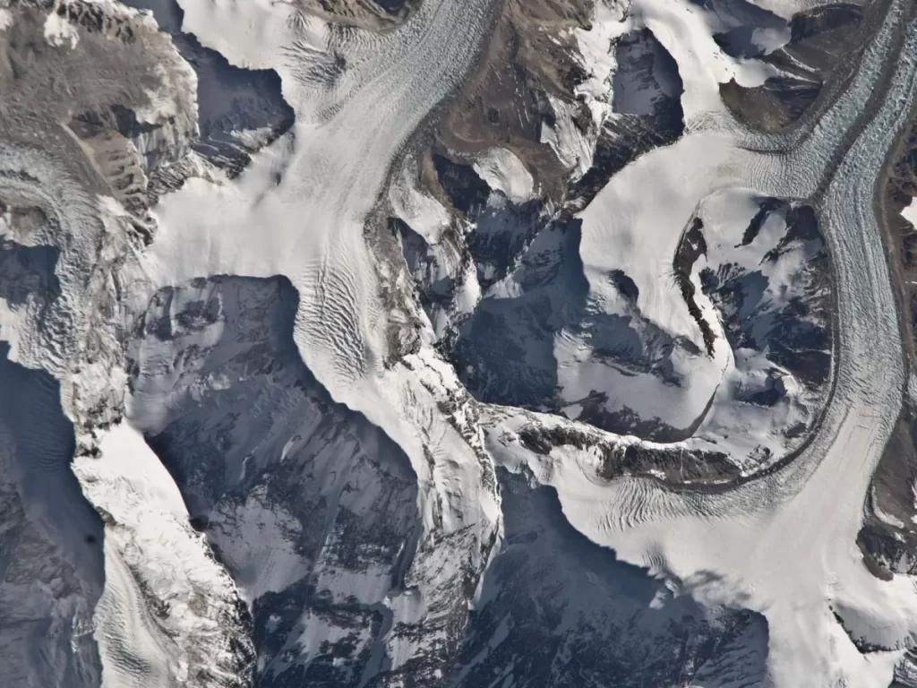
Photographed by an Expedition 26 crew member aboard the International Space Station (ISS) on January 6, 2011, this detailed photograph highlights the northern approach to Mount Everest from Tibet. Photo: NASA
5. Mount Everest from the ISS
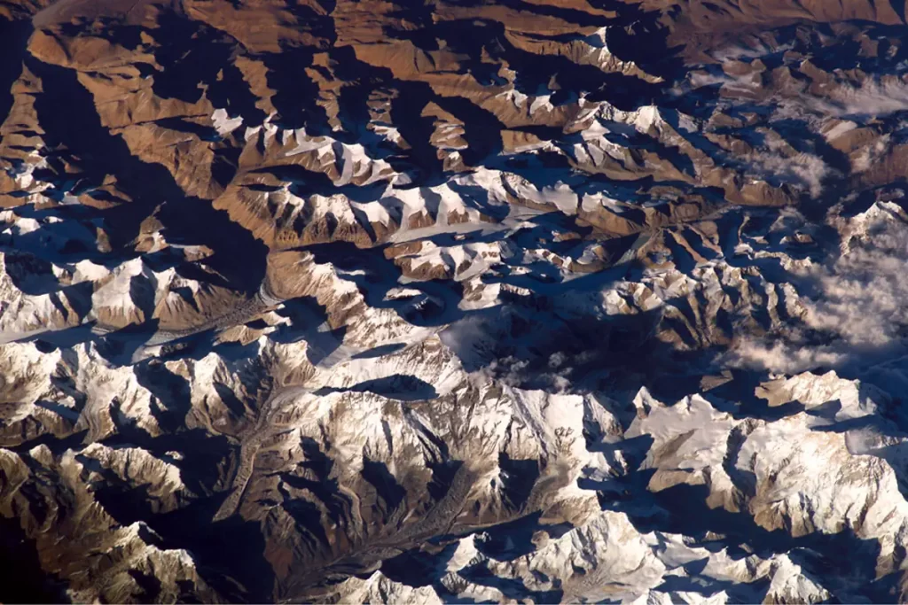
The astronauts on the International Space Station took this photo of Mount Everest on November 26, 2003.
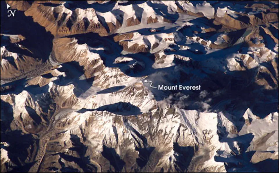
Despite its planetary stature, Mount Everest is not an easy peak to locate in the photos since it is surrounded by many high mountains. You can see the annotated version below.
The Himalayas are still rising
The Himalayas have risen because of the massive tectonic forces that drove the crustal plates of India and Asia into each other about 40 to 50 million years ago. The Himalayas as a whole started forming 25 to 30 million years ago, while the Great Himalaya Range began building up about 2.6 million years ago.
These huge tectonic forces that formed the Himalayas are still active today, causing Everest and the surrounding mountains to rise a few millimeters per year. Mount Everest, for example, is rising about 4 millimeters per year on average. But, Nanga Parbat, is growing faster than any other sizable region on Earth, at a rate of 7 mm/year.
With a simple calculation, after around 241,000 years from now (just a blink of an eye in the geological scale), Nanga Parbat will be the world’s highest mountain.
Sources
- “Mount Everest: The World’s Tallest Mountain” on the NASA Earth Observatory website
- “The Many Faces of Mount Everest” on the NASA Earth Observatory website
- “On Top of the World: Everest and Makalu” on the NASA Earth Observation website
- “Fastest rising mountain” on the Guinness World Records website
- Moon Landings: All-Time List [1966-2025] - February 2, 2025
- What Is Max-Q and Why Is It Important During Rocket Launches? - January 16, 2025
- Top 10 Tallest Rockets Ever Launched [2025 Update] - January 16, 2025
