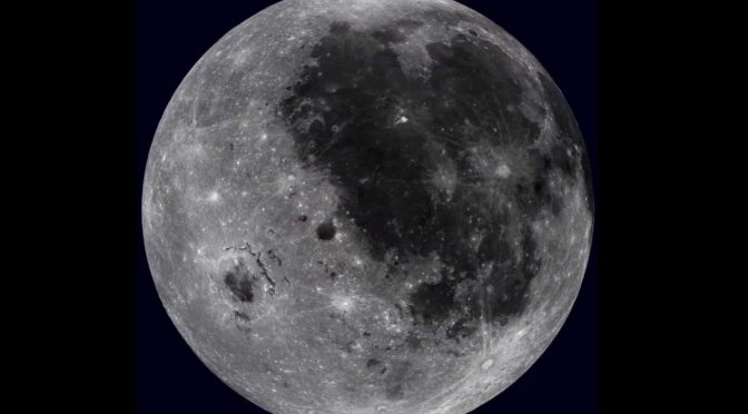
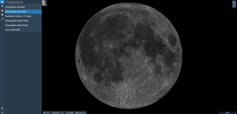
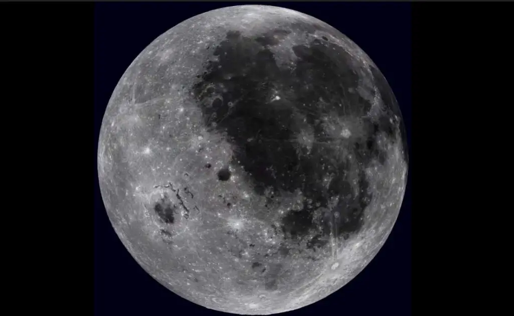
This awesome map, using imagery taken by NASA’s Lunar Reconnaissance Orbiter (LRO), enables us to explore Moon within our browsers.
You can use the map and explore the Moon by going to quickmap.lroc.asu.edu website. The map also enables you to export images.
There are six projections available:
- Orthographic (Farside)
- Orthographic (Nearside)
- Equidistant Cylindrical (< 75 deg.) (see notes 1 below this post)
- Orthographic (South Pole)
- Orthographic (North Pole)
- Lunar Globe (3D). If you use this projection, you can explore Moon by rotating it.
Related: Amazing Moon facts
Notes
1. Equidistant cylindrical projection
Equidistant cylindrical projection or Equirectangular projection is a simple map projection attributed to the Greek (or possibly Phoenician, C. AD 70-130) geographer and cartographer Marinus of Tyre, who Ptolemy claims invented the projection about AD 100.
The projection maps meridians to vertical straight lines of constant spacing (for meridional intervals of constant spacing), and circles of latitude to horizontal straight lines of constant spacing (for constant intervals of parallels). The projection is neither equal-area nor conformal. Because of the distortions introduced by this projection, it has little use in navigation or cadastral mapping and finds its main use in thematic mapping.
Sources
- Equirectangular projection on Wikipedia

- How Many Elephants are Left in the World in 2025? - August 17, 2025
- Moon Landings: All-Time List [1966-2025] - February 2, 2025
- What Is Max-Q and Why Is It Important During Rocket Launches? - January 16, 2025