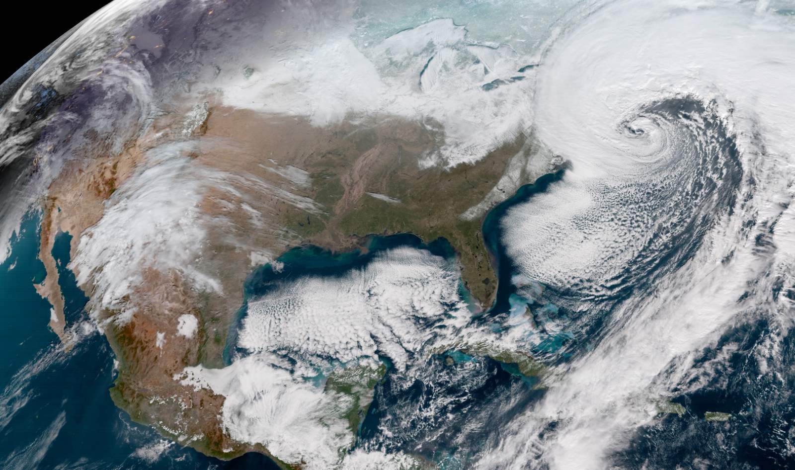
On January 4, 2018, NASA has published an amazing GeoColor (see notes 1) image of the so-called “Bomb Cyclone”, a very powerful storm off the East coast of the United States. It was taken from the National Oceanic and Atmospheric Administration (NOAA) GOES-16 satellite (previously known as GOES-R) (see notes 2).
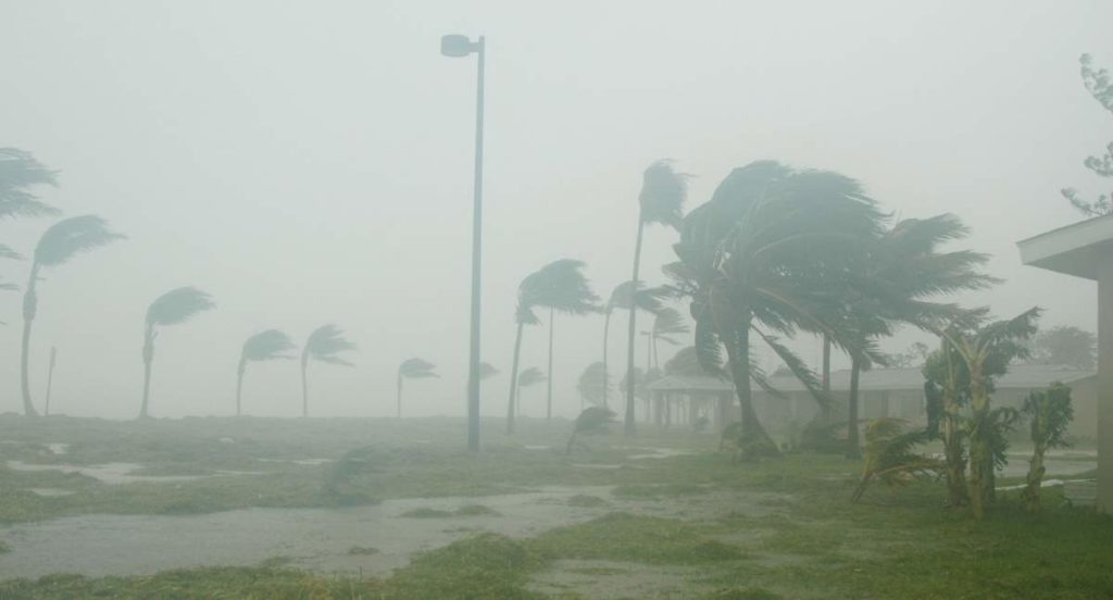
Dubbed as “historic bomb cyclone”, January 2018 North American blizzard is a major and extremely powerful nor’easter that affected the Northeastern United States with severe blizzard conditions. It has battered coastal areas with heavy snow and strong winds, from Florida to Maine. In the image below, notice the long line of clouds stretching over a thousand miles south of the storm, which is drawing moisture all the way from deep in the Caribbean.

The storm originated on January 3 as an area of low pressure off the coast of the Southeast. Moving swiftly to the northeast, the storm explosively deepened while moving parallel to the East Coast of the United States, causing significant snowfall accumulations. The storm received various unofficial names, such as Winter Storm Grayson, Blizzard of 2018, etc.
What is a “Bomb Cyclone”?
Bomb Cyclone or with its scientific name, Explosive cyclogenesis (also referred to as a weather bomb, meteorological bomb, explosive development, or bombogenesis) refers in a strict sense to a rapidly deepening extratropical cyclonic low-pressure area. To enter this category, the central pressure of a depression at 60° latitude is required to decrease by 24 mb (hPa) or more in 24 hours.
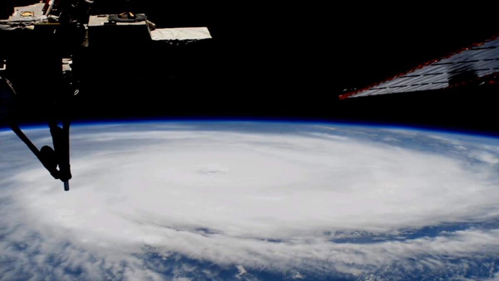
This is a predominantly maritime, winter event, but also occurs in continental settings. This process is the extratropical equivalent of the tropical rapid deepening (or Rapid intensification), a meteorological condition that occurs when a tropical cyclone intensifies dramatically in a short period of time.
The video below explains what is a bomb cyclone.
Notes
- GeoColor is a multispectral product composed of True Color (using a simulated green component) during the daytime, and an Infrared product that uses bands 7 and 13 at night. During the day, the imagery looks approximately as it would appear when viewed with human eyes from space.
- Launched on November 19, 2016, GOES-16, previously known as GOES-R, is the first of the GOES-R series of Geostationary Operational Environmental Satellite (GOES) operated by the U.S. National Oceanic and Atmospheric Administration (NOAA). It provides atmospheric and surface measurements of the Earth’s Western Hemisphere for weather forecasting, severe storm tracking, space weather monitoring, and meteorological research. It is is NOAA’s first geostationary weather satellite (see notes 3) to carry a lightning detector. It became operational – replacing GOES-13 in the GOES-East position over the eastern United States and the Atlantic Ocean – on December 18, 2017
- A geostationary orbit, geostationary Earth orbit, or geosynchronous equatorial orbit (GEO) is a circular orbit 35,786 kilometers (22,236 mi) above the Earth’s equator and following the direction of the Earth’s rotation. An object in such an orbit has an orbital period equal to the Earth’s rotational period (one sidereal day) and thus appears motionless, at a fixed position in the sky, to ground observers. It is a special case of geosynchronous orbit, which is an Earth-centered orbit with an orbital period that matches Earth’s rotation on its axis, 23 hours, 56 minutes, and 4 seconds (one sidereal day). In short, geostationary orbit is a geosynchronous orbit above the Earth’s equator.
The video below explains what is a geostationary orbit.
Sources
- “GeoColor Image From NOAA’s GOES-16 Satellite of Powerful East Coast Storm” on NASA.gov
- January 2018 North American blizzard (Historic Bomb Cyclone) on Wikipedia
- GOES-16 on Wikipedia
- Geostationary orbit on Wikipedia
- Explosive cyclogenesis on Wikipedia
- How Many Elephants are Left in the World in 2025? - August 17, 2025
- Moon Landings: All-Time List [1966-2025] - February 2, 2025
- What Is Max-Q and Why Is It Important During Rocket Launches? - January 16, 2025


