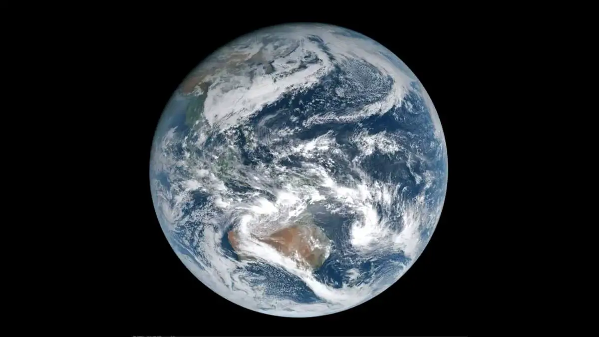
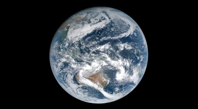
An amazing time-lapse video of Earth from the geostationary orbit (see notes 1). The video was generated from the images taken by the Japanese weather satellite Himawari 8, which takes a photo of Earth every 10 minutes. Himawari 8 is the 8th of the Himawari geostationary weather satellites operated by the Japan Meteorological Agency.
Himawari 8, the satellite which takes a photo of Earth from the Geostationary Orbit every 10 minutes
The satellite focuses on that section of the earth which includes Japan (obviously) and Australia. Himawari 8 was launched atop an H-IIA rocket flying from the Yoshinobu Launch Complex Pad 1 at the Tanegashima Space Center. The launch occurred at 05:16 UTC on 7 October 2014 and reached its operational geostationary orbit in October 2014, at 140.7 degrees East.
You can also see Himawari 8 real-time imagery. The imagery uses True Color Reproduction (TCR) technology which enables the display of earth images taken from space in a way that is familiar to the human eye. The imagery consists of data from three visible bands (Band 1, 2, and 3), one near-infrared band (Band 4), and one infrared band (Band 13). For color reproduction, the RGB chromaticity of AHI is converted to sRGB (an international standard for RGB color space).
In this process, as an alternative to the bi-spectral hybrid green method outlined by Miller et al. (2016), the green band is optimally adjusted using Bands 2, 3, and 4. To make the imagery more vivid, atmospheric correction (Rayleigh correction, Miller et al., 2016) is also applied. Software for this purpose is provided by the Cooperative Institute for Research in the Atmosphere (CIRA) established by NOAA/NESDIS and Colorado State University in the United States of America.
Notes
- A geostationary orbit, geostationary Earth orbit, or geosynchronous equatorial orbit (GEO) is a circular orbit 35,786 kilometers (22,236 mi) above the Earth’s equator and following the direction of the Earth’s rotation. An object in such an orbit has an orbital period equal to the Earth’s rotational period (one sidereal day) and thus appears motionless, at a fixed position in the sky, to ground observers.
Illustrating different classes of orbits commonly used by satellites in Earth orbit, there are special classes of orbit designed to solve certain problems and the physics behind them is important.
Video by Scott Manley

Sources
- Himawari 8 on Wikipedia
- Geostationary orbit on Wikipedia
- Himawari Real-Time Image on data.jma.go.jp
- Moon Landings: All-Time List [1966-2025] - February 2, 2025
- What Is Max-Q and Why Is It Important During Rocket Launches? - January 16, 2025
- Top 10 Tallest Rockets Ever Launched [2025 Update] - January 16, 2025


One reply on “Earth from the Geostationary Orbit [Himawari 8 images]”
I guess the earth is not such a magical place after all. This is some of the worst photography I’ve ever seen.