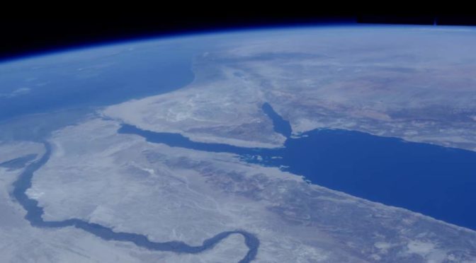
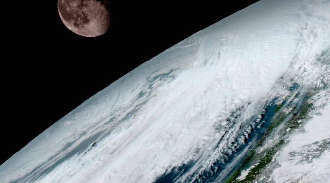
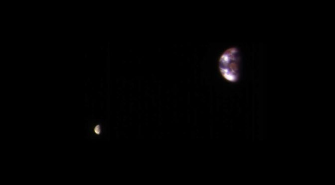
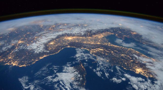
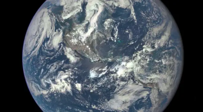
On his most recent trip to the International Space Station (Expedition 48), recently-retired NASA astronaut Jeff Williams has recorded a great HD video of Earth (titled Jeff’s Earth) using an Ultra High Definition video camera.
Here in the video titled “Jeff’s Earth” below, he shares some of those images and talks about the beauty of the planet, the variety of things to see, and the value of sharing that perspective with everyone who can’t go to orbit in person.
